
AI Assisted
AI Assisted
The seller says AI was used in making this resource, but didn't add details.
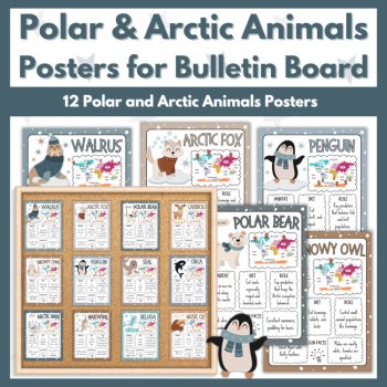
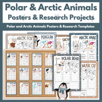
Polar and Arctic Animals Posters for Winter Bulletin Board
$3.00

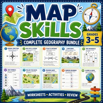
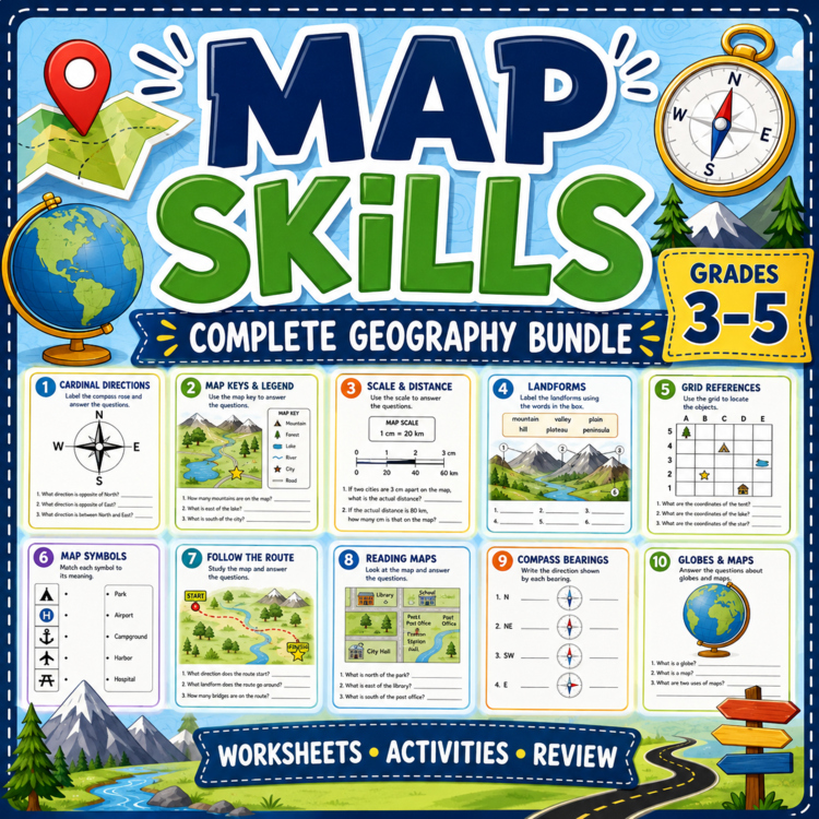
A complete map-skills collection with map types, symbols, directions, world maps, topographic and political maps, GPS/GIS, reading, coloring, crosswords, and a comic reader.
Types of Maps Worksheet | Geography Multiple Choice Activity
Types of Maps Crossword Worksheets | Geography Activity | 3 Puzzles
Map Masters PowerPoint | Map Skills & Geography | Social Studies Presentation
Direction Detectives PowerPoint | Cardinal Directions | Geography Presentation
World Map Explorers PowerPoint | Continents & Oceans | Geography Presentation
Landforms Coloring Guide | Geography Activity | Labeling & Coloring Worksheets
Types of Maps Flash Cards & Worksheets | Geography Skills
Types of Maps Flash Cards, Labeling, Coloring, Reading , Mcqs, Study Guide
Types of Maps Coloring Pages | Geography Coloring Activities
Types of Maps Reading Comprehension | Map Skills | Grades 3–5
Map Symbols and Legends Geography Flash Cards & Worksheets | Grades 3-5
Topographic Maps Geography Flash Cards & Worksheets | Grades 3-5
Compass Rose and Cardinal Directions Geography Flash Cards & Worksheets
Political Maps Flash Cards & Worksheets | Geography Map Skills
Global Positioning System GPS Flash Cards & Worksheets | Science TEKS 5.1D
GIS Flash Cards & Worksheets | Science TEKS 6.2B | Grade 6
Population Maps Flash Cards | Science TEKS 6.2B | Grade 6
Types of Maps | Map Mission Comic Reader | Grade 5 | NGSS 5-ESS2-1
Report this resource to Linked Through Learning
Reported resources will be reviewed by our team. Report this resource to let us know if this resource breaks our rules.
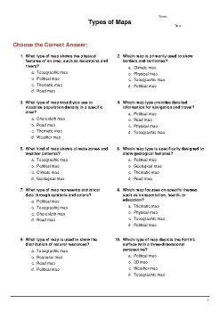
Help students understand different types of maps with this engaging multiple-choice worksheet. This resource supports learners in identifying how maps are used to represent various types of information while strengthening critical thinking and geographic literacy skills. Students will answer 10 mult
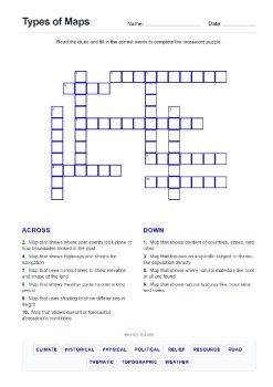
Make learning geography fun and interactive with this engaging set of Types of Maps crossword worksheets. Students will explore key map concepts and vocabulary through problem-solving activities that reinforce understanding in an enjoyable way.What’s Included3 crossword worksheets focused on types o
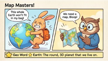
Teach essential geography skills with this engaging Map Masters PowerPoint presentation! This resource helps students understand how to read and interpret maps through clear explanations, visuals, and real-world examples.Grade Levels: Best suited for Grades 2–5 Can also be used for Grade 1 (advance
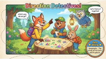
Help students understand directions in a fun and engaging way with this interactive Direction Detectives PowerPoint presentation! This resource introduces cardinal directions through clear explanations and visual examples, making geography concepts easy to grasp.Grade Levels: Best suited for Grades
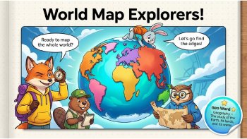
Take students on a global adventure with this engaging World Map Explorers PowerPoint presentation! This resource helps students understand the world map, continents, and oceans through clear visuals and simple explanations.Grade Levels: Best suited for Grades 2–5 Can also be used for Grade 1 (adva
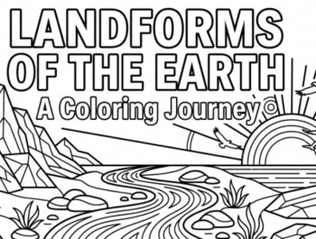
Take your landforms learning to the next level with this Landforms Coloring Guide! This resource combines coloring, labeling, and visual learning, helping students clearly understand Earth’s surface features through structured and engaging activities.This guide is perfect as a companion resource to
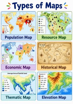
Make learning about maps fun and engaging with this Types of Maps resource pack! This file combines flash cards, coloring pages, and labeling worksheets to help students understand different types of maps and how they are used.Perfect for building strong geography and map-reading skills.What’s Inclu
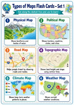
What’s Included:1. Flash Cards 2 pages of flash cards Clear visuals and student-friendly definitions Great for vocabulary review, centers, and map-type identification 2. Reading Exercise One reading passage about types of maps Comprehension questions included Helps students build geography vocab
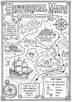
Make geography fun and engaging with this Types of Maps Coloring Pages resource pack! This set helps students explore different map types, map symbols, directions, landforms, weather patterns, resources, and geography vocabulary through creative coloring activities.What’s Included:9 detailed colorin
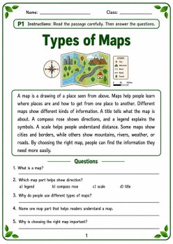
Types of Maps Reading Comprehension | Map Skills | Grades 3–5━━━━━━━━━━━━ 🗺️ 🧭 📍 📚 ✏️ ━━━━━━━━━━━━Help students build strong map skills, geography vocabulary, and nonfiction reading comprehension with this organized Types of Maps reading-comprehension worksheet set for Grades 3–5. This print-read...
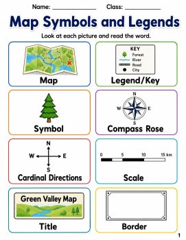
Map Symbols and Legends Geography Flash Cards & Worksheets | Grades 3-5Help your students learn about map symbols, map legends, map keys, compass roses, cardinal directions, intermediate directions, map scale, routes, roads, railroads, rivers, mountains, forests, parks, hospitals, schools, airpo
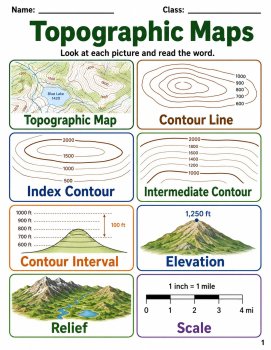
Topographic Maps Geography Flash Cards & Worksheets | Grades 3-5Help your students learn about topographic maps, contour lines, index contours, intermediate contours, contour intervals, elevation, relief, scale, legends, compass roses, peaks, valleys, ridges, depressions, steep slopes, gentle sl
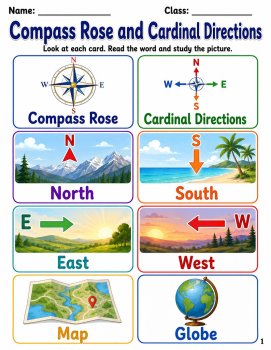
Compass Rose and Cardinal Directions Geography Flash Cards & Worksheets | Grades 3-5Help your students learn about compass roses, cardinal directions, intermediate directions, north, south, east, west, northeast, northwest, southeast, southwest, maps, globes, locations, routes, landmarks, symbol
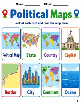
Political Maps Flash Cards & Worksheets | Geography Map SkillsHelp students understand political maps, countries, states, capitals, borders, cities, regions, continents, oceans, map keys, legends, compass roses, scale, direction, labels, and map symbols with this engaging geography flash cards a
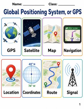
Global Positioning System GPS Flash Cards & Worksheets | Science TEKS 5.1D | Grade 5Help your students learn about GPS, satellites, maps, navigation, locations, coordinates, routes, signals, receivers, compasses, directions, waypoints, tracking, destinations, distance, travel, latitude, longitud
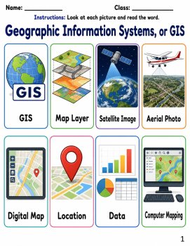
GIS Flash Cards & Worksheets | Science TEKS 6.2B | Grade 6Help Grade 6 students understand Geographic Information Systems, or GIS, map layers, satellite images, aerial photos, GPS, coordinates, spatial data, attribute data, remote sensing, land use, population maps, elevation, climate, and map a
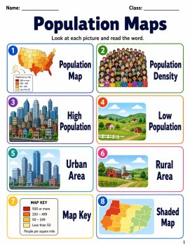
Population Maps Flash Cards | Science TEKS 6.2B | Grade 6Help Grade 6 students understand population maps, population density, urban areas, rural areas, map keys, legends, dot maps, choropleth maps, census data, scale, regions, and map-based data analysis with this engaging science flash cards and w
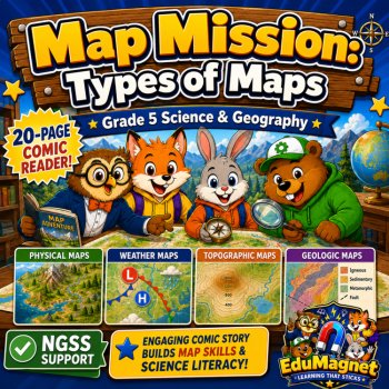
Help Grade 5 students explore types of maps and learn how to read Earth like scientists with this engaging Types of Maps: Map Mission Comic Reader fromEdu Magnet.In this colorful 20-page comic-style reader, students join a team of animal explorers as they solve a mixed-up map problem and prepare for
No questions yet.
AI Assisted
The seller says AI was used in making this resource, but didn't add details.
$3.00
AI Assisted
The seller says AI was used in making this resource, but didn't add details.
$2.50
AI Assisted
The seller says AI was used in making this resource, but didn't add details.
$3.85 $5.50
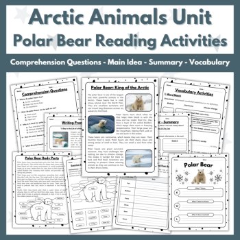
AI Assisted
The seller says AI was used in making this resource, but didn't add details.
$2.00
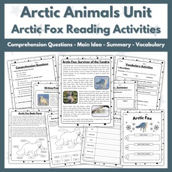
AI Assisted
The seller says AI was used in making this resource, but didn't add details.
$2.00
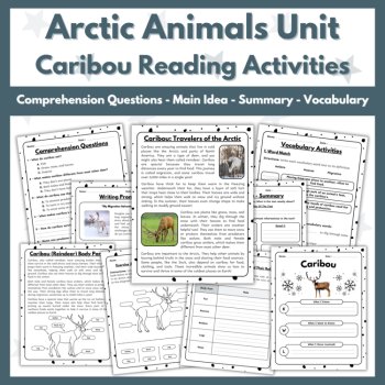
AI Assisted
The seller says AI was used in making this resource, but didn't add details.
$2.00 (1)
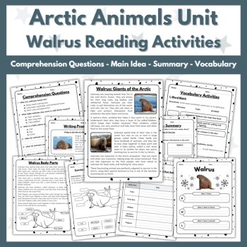
AI Assisted
The seller says AI was used in making this resource, but didn't add details.
$2.00
AI Assisted
The seller says AI was used in making this resource, but didn't add details.
$2.00